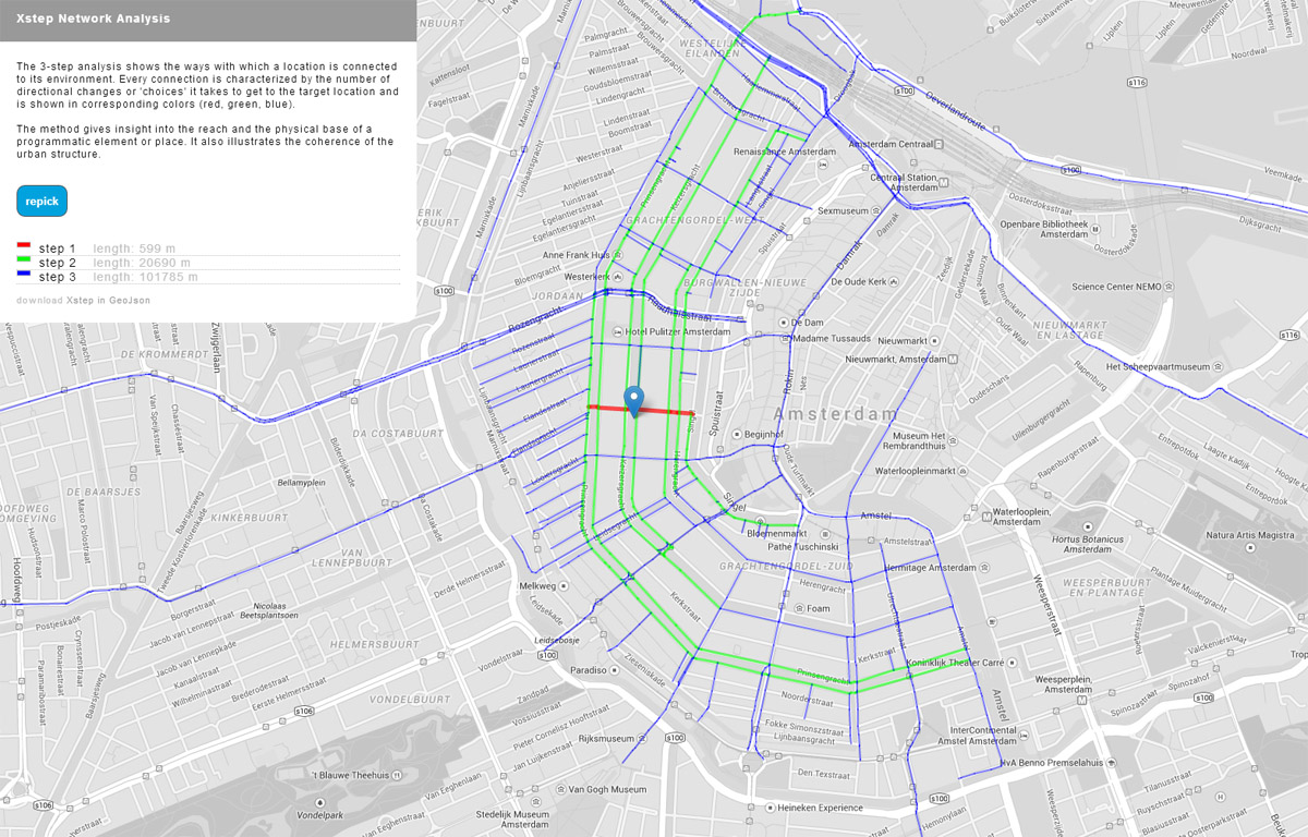
3Step Network Analysis
Analysis the connectivity of places within an urban network
- tool3Step Network Analysis
- year 2014
- development phasepublic alpha
- licencefree
Urban space consists of numerous locations connected by networks. Networks make sure that locations are accessible. From this accessibility follows the base for a specific location and its function.
The model by Peter de Bois and Karen Buurmans called 3-step analysis offers a natural method of researching the way locations and netwerk are intertwined and determing the strength a location is attached to the network and other places.
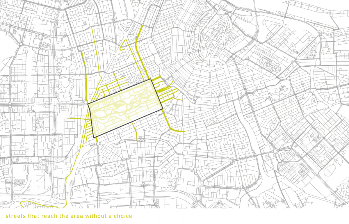
Starting point of the method is the way people find their way to a target location as a series of choices (first left, go straight on and then second to the right). After three steps most people lose their way and ask a passer-by or consult their smartphone.
Thus the 3step method is a relatively simple type of network analysis in which one determines the streets from which a theoretical pedestrian can reach a location within 3 choices.
In collaboration with Peter de Bois and using the freely available netwerk data from NWB and Open Street Map a protoype was created. This online tool is able to calculate the 3-step network for every location in the Netherlands within one minute. The result can be saved to geoJSON en opened in QGIS.